Latest news
23 December 2025
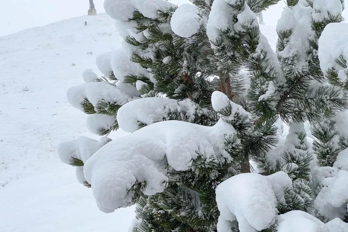
Live from the snow dump: it’s absolutely dumping right now!

After a shy start, it seems that winter is finally about to arrive with a promising snow forecast for this weekend and the coming weeks in the Alps. Weather forecasters’ snow reports announce heavy snowfalls accumulating up to 150 cm of fresh snow by the end of the month. This is fantastic news if you’re of on your ski holidays soon! However, this also means the risk of avalanches continues to rise and it is strongly recommended not to go skiing off-piste. Snowplaza keeps you informed about the snow forecast for Austria, Switzerland and France with regular, up-to-date snow reports.
Almost all ski resorts in the Alps have snow forecasted for the coming days and weeks. Snow reports for Lech in Austria and Davos in Switzerland announce over 100 cm of fresh snow by the end of the month. The situation is similar in other ski areas such as Flachau in Salzburger Sportwelt, Kitzbuhel & Kirchberg and the Saalbach Hinterglemm ski area where more than 80 cm of fresh snow is expected in the valley. The snow report for Schladming-Dachstein shows up to 150 cm of snow forecasted. Temperatures will stay low reaching a maximum of 0 degrees during the day dropping as low as -18 degrees at night in some Austrian ski resorts such as Ischgl & Samnaun (Silvretta Arena). The freezing level will be between 900 m and 1000 m of altitude.
Ischgl webcam 23/1/15
The heavy snow forecasted over the coming days may be great news for holiday-makes who have been nervously watching snow reports over recent weeks but it also carries a high risk of avalanche for skiers and snowboarders. Several avalanches have occurred in the last few days in the Alps. According to media reports six people lost their lives while skiing off-piste. The risk is particularly high in the south of the Arlberg region, in the Northern Alps and in the Kitzbühel Alps where there is an Avalanche risk of "3" above 2,000 meters. In Graubünden in Switzerland the risk is so high that buses and trains have stopped running and some roads are closed. The reason for the increased risk of avalanches after heavy snow falls is the fact that the fresh snow cannot stick to the old snow and lies loosely on the surface. The smallest vibration can cause these large areas of fresh snow to simply slip off the mountain causing huge avalanches! Even the most experienced ski and mountain guides recommended not to go off-piste at the moment – however tempting the deep powder may look.
Oberlech webcam 22/1/15
If you’re driving to the Alps tomorrow or in the coming days, you should definitely have snow chains with you. At the moment, the heaviest snow falls are expected from Thursday the 29th until the weekend. For example, the snow report for Solden in the Ötztal Ski area expects about 25 cm of snow on Thursday, 40 cm of snow on Friday and 20 cm of snow on Saturday. Apparently this is just the beginning with heavy snowfalls expected into February – great news for those off on their ski holidays during the half term!
Arosa webcam 23/1/15
Stay up-to-date on the latest snow report and snow forecast for your favourite ski resort(s)! It takes a matter of seconds to set up and you will receive an email with all the relevant information about the weather and skiing in your chosen resort. Set up your free SnowAlert now!