
Mountain weather
04 January 2023
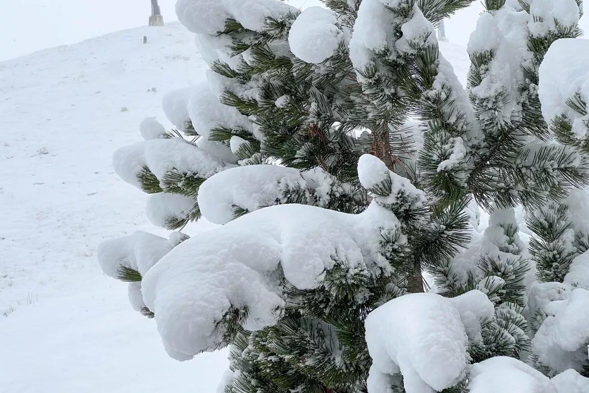
Alpine weather: weather maps show fresh snow

After a few very cold days in the Alps, it got a bit warmer yesterday. In some areas, sleet and freezing rain caused much inconvenience. In certain places on the northern side of the Alps, it can still be slippery today. It is overcast, with slight snow and rain. The coming days might bring some more snow; however, due to the south-westerly wind, it will get a bit warmer. Here is our latest weather report.
North of the Alpine divide, it was very cloudy this morning, with light precipitation. The snow line in Austria and southern Germany is between 1,000 and 1,5000 metres. Not more than 10 centimetres of fresh snow is expected today, and the roads can be slippery, especially in the eastern lowlands. The precipitation should decrease towards midday, with a chance of sunshine in the afternoon. The weather will be quite different in the southwest of the Alps. The morning will be sunny, with increasing overcast during the day. In Italy, it has been quite cold overnight. On altitudes between 1,000 and 1,400 metres, 30-40 cm of fresh snow is expected. The southern French Alps can also expect more snow, the snow line being at 1,800 metres. In Switzerland, the snow line will settle at an altitude between 1,200 and 1,400 metres.
On Friday, the eastern Alps will be affected by bad weather in Italy. A dense overcast with slight rain and snow is expected. In the southwestern Alps, it will be cloudy with some snow. It will get warmer, and the snow line will move higher and higher. In the north of the Alps, cold weather will last a bit longer. The weekend will bring changeable weather with occasional sunshine and snow.
Christmas holidays are getting closer and closer - always an exciting time when it comes to weather forecasts. Will we get a white Christmas in the Alps? At the moment, it looks like winter will be temporarily on hold in the coming days. From Monday on, the influence of low-pressure areas will increase from the west. The winds will take a south-westerly direction, bringing along some warmer air. The föhn wind will increase in strength and possibly push the temperatures in the mountains to 10 °C. Compared to last Monday and Tuesday, a difference of almost 30 °C! As a result, snow conditions will quickly deteriorate. Whether this weather pattern persists through Christmas is still uncertain. It looks like it might, but there are also chances for a turnaround with lots of snow for the northern side of the Alps. We will keep you updated.
I grew up in Slovenia, close to the Julian Alps. Early on, my parents put me on skis and skates, and the winter sports enthusiasm hasn't left me since. I also enjoy cross-country skiing and have been a keen snowboarder for the past 20 years.


