
Mountain weather
04 January 2023
Alpine weather: weather maps show fresh snow

Now that December and the start of meteorological winter are already here, we can forget the mild autumn weather. This will not change, for the time being, thanks to a powerful high-pressure area developing over Russia. In the coming days, temperatures in many ski resorts will drop well below freezing, and there might be occasional snowfall. You can read the forecast for the coming days in this article.
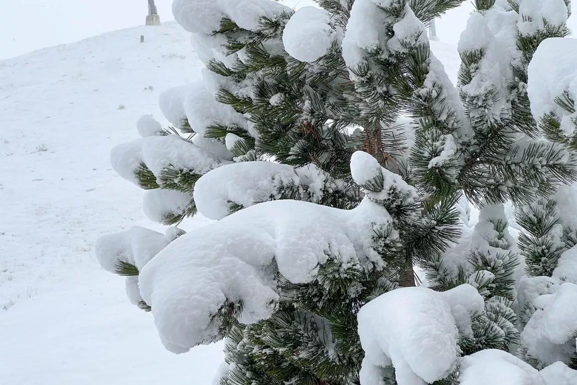
A powerful high-pressure area over Russia will define the weather picture in the Alps in the coming days. The wind will blow from an easterly direction, making it a lot colder in the ski resorts. In the valleys, temperatures will be just above zero during the day and freezing slightly at night. The wind will feel chilly and wintry. On the slopes, it will quickly get about 10 degrees below zero. Today, the snow line in most areas is between 1,000 and 1,300 metres. Towards the end of the week, the snow line will drop to altitudes between 200 and 500 metres, especially on the northern side of the Alps.
As in the past two weeks, snowfall will be regular in the coming days. The amount of fresh snow won't be huge, but you can count on several tens of centimetres. With temperatures staying low, the ski resorts will be able to produce plenty of artificial snow. This is ideal as the official start of the ski season draws closer. Next weekend, many ski resorts are opening their first lifts and slopes, including the Zillertal Arena, Skicircus Saalbach Hinterglemm Leogang Fieberbrunn, Kühtai and l'Alpe d'Huez.
I grew up in Slovenia, close to the Julian Alps. Early on, my parents put me on skis and skates, and the winter sports enthusiasm hasn't left me since. I also enjoy cross-country skiing and have been a keen snowboarder for the past 20 years.


