
Mountain weather
04 January 2023
Alpine weather: weather maps show fresh snow

The end of 2022 is approaching, and the first signs of winter are already noticeable. In the coming days, most of Europe can expect cold air from the north, dropping the temperatures below freezing. This coming weekend it could even get colder than -10 °C in the mountains! On Thursday and Friday, there will again be an increased chance of snow. You can read all about the weather in the Alps in this article.
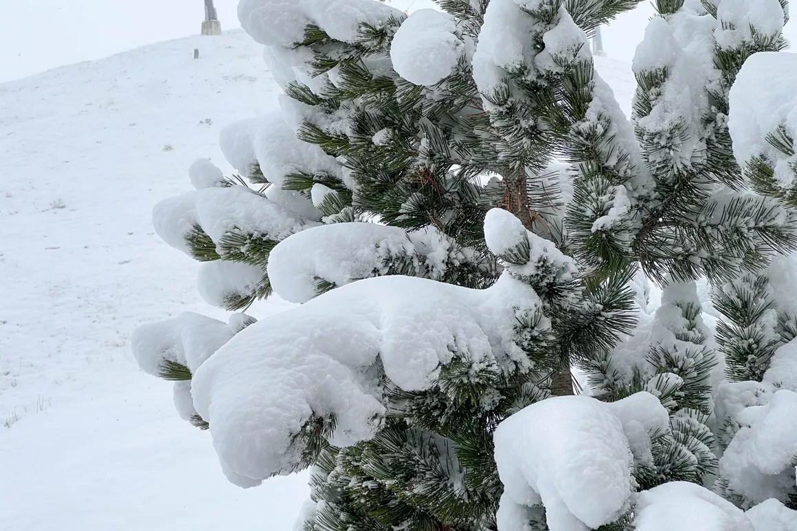
After a snowy weekend, another precipitation area crossed the Alps from west to east on Monday. Snow fell mainly on the northern side, in some areas more than 20 cm. Together with a beautiful sunrise, there were many opportunities for lovely photographs on Tuesday morning. Wednesday was mostly sunny, especially in France, Italy and Switzerland - perfect weather to enjoy the slopes. Some showers occurred on the northern side of the main Alpine ridge. In southern Germany and Austria, there was a chance for light snow. No exciting amounts, a few centimetres at most.
Today, the weather pattern became more changeable. Some wintry precipitation is predicted for western Switzerland and eastern France (Haute Savoie, Savoie and Hautes Alpes). The expected amounts are not exciting, about 10 centimetres at most. Snowline, however, will stay relatively high, at around 1,400 metres, while it might drizzle in the valleys.
On Friday, nice skiing weather is predicted all over the Alps. Parts of Italy and France can expect over 20 cm of snow on that day, although showers are also possible due to the passing mild air. Snow line will settle at altitudes between 1,200 and 1,400 metres. For Friday, Bergfex predicts 27 cm of snow in Serre Chevalier Vallée - Briançon, 16 cm of snow in Montgenèvre and 14 cm of snow Tignes - Val d'Isère.
On Friday, temperatures will be just around freezing, but on Saturday, it could get colder than -10 °C on the slopes. In some parts, temperatures might drop towards -20 °C. The precipitation area will expand further eastwards, and fresh snow is expected on Saturday and Sunday, especially in Austria and Italy. On average, around 20 to 30 cm of new snow is expected. The snow line will be between 100 and 400 metres.
I grew up in Slovenia, close to the Julian Alps. Early on, my parents put me on skis and skates, and the winter sports enthusiasm hasn't left me since. I also enjoy cross-country skiing and have been a keen snowboarder for the past 20 years.


