
Mountain weather
04 January 2023
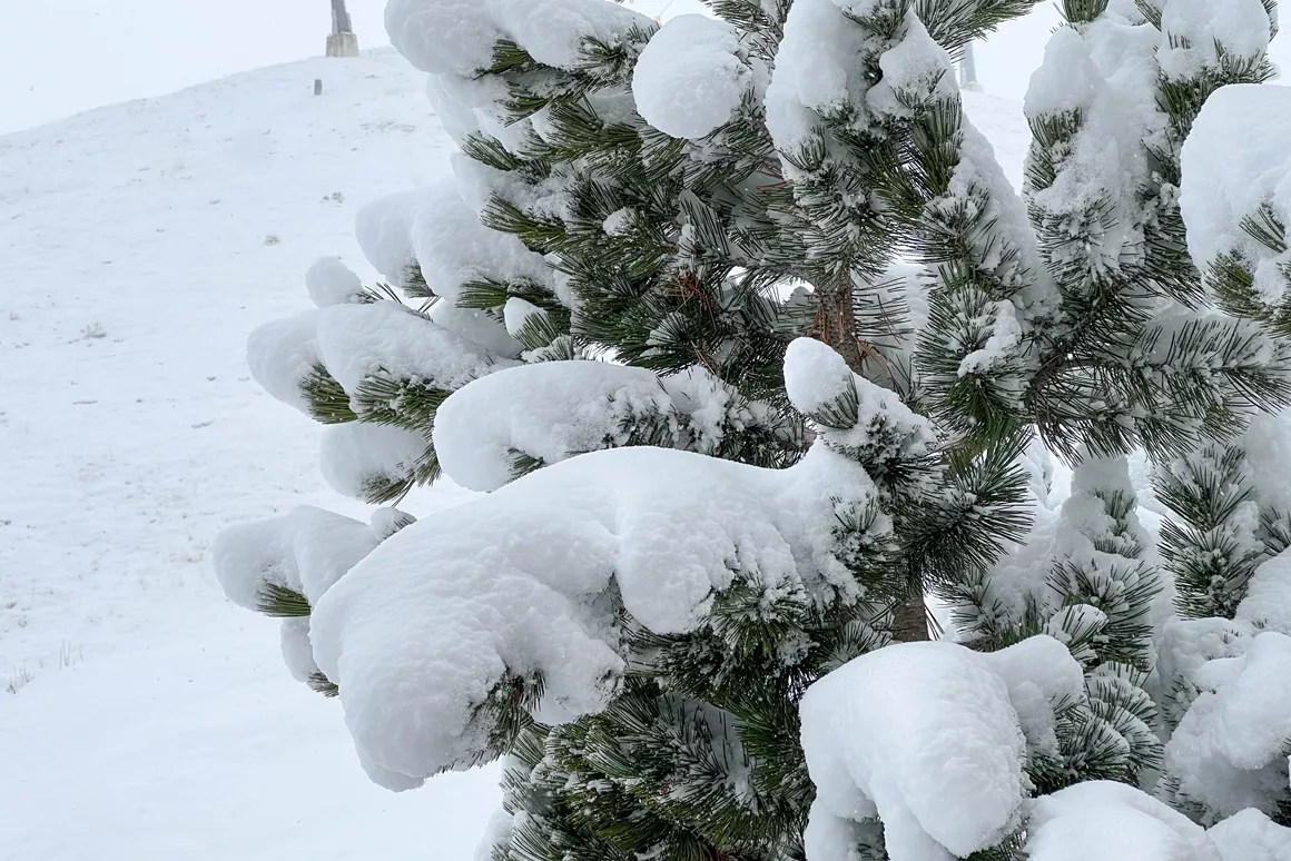
Alpine weather: weather maps show fresh snow

A new week has started, and an important question immediately pops up. What about those excellent snow forecasts we spoke about last week? Last week was already quite snowy, but this week's predictions look way better. Tomorrow there could be an awful lot of snow, especially in Italy. More than half a metre and, in some areas, even a little more. The first big snowfall of the season is looking more and more promising by the minute!
Weather forecasts look incredibly promising for the Italian Alps, especially the southeastern parts. On Tuesday, this will be the area with the heaviest snowfall, with the Dolomites being the absolute winner. While the amounts are slightly lower than previously predicted, according to Bergfex, many ski resorts can still count on over half a metre of fresh snow. The snow line will drop to an altitude between 600 and 800 metres. With the ski season opening around the corner, predicted snow depths like this are more than welcome! These are the snow depths you can expect in Italy:
It was cloudy on the northern side of the Alps this morning, with some fresh snow here and there at an altitude between 800 and 1000 metres. The predicted snowfall on Tuesday will also reach Austrian ski resorts, especially the southern side of the Alps. According to Bergfex, most ski areas can count on over 30 cm of snow on Tuesday, the snow line setting between 600 and 800 metres. Some regions in Austria also stand qua predicted snow depth. Some glaciers, for example, may see almost half a metre of fresh snow! Some predictions:
In southern Germany, too, snow is predicted in some areas. The country's highest mountain, the Zugspitze, can count on over 46 cm of snow on Tuesday, the snow line setting at around 800 metres. The Nebelhorn in Oberstdorf can expect about 16 cm of snow at around the same snow line. Almost 15 cm of snow is predicted for Reit im Winkl today and 25 cm more tomorrow. The snow line will supposedly drop to around 800 metres.
The predicted snow amounts for Switzerland look less promising. This morning, a transition to dry and sunny autumn weather is expected from the west. But nice weather won't be around for long. In the afternoon, clouds will close in from the west, with expected overnight snowfall at about 1,000 metres. Tuesday will start mostly cloudy with some precipitation in the east. Between 10 and 20 cm of fresh snow is expected in the canton of Grisons, with the snow line at around 900 metres. The other cantons can expect up to 10 cm of fresh snow.
France, too, won't see much snowfall on Tuesday. Some snow may fall above 2,000 metres in the Pyrenees, while in the Alps, the snow line will set at an altitude between 1,200 and 1,600 metres. There might be between 10 and 40 cm of fresh snow by Wednesday.
A nice layer of fresh snow also fell in the Sauerland last weekend. Cold air from Scandinavia made temperatures drop, giving the precipitation a wintry hue. Moreover, the snow cannons were able to run in full force, so the Winterberg and Willingen ski areas may soon be able to open their first lifts and slopes. Next week will remain cold, with temperatures around freezing, although less so than last weekend. Some centimetres of snow, especially today and tomorrow, are still expected from time to time.


