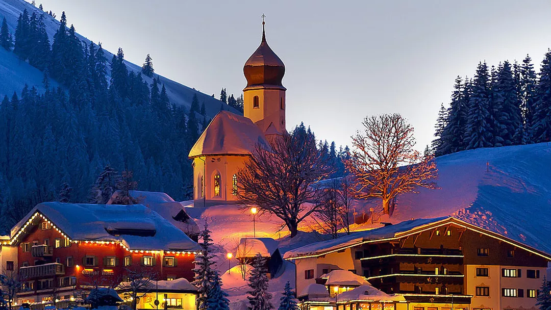
What is the weather like in Damüls in Austria, and what is the forecast for the next few days? Check the current weather forecast for Damüls on this page. Here, you will find the weather forecast for the next 48 hours as well as the next 14 days, so you’ll know exactly what to expect and what the weather will be like in Damüls during your winter holiday.
The weather in Damüls
On this page, you will find the current weather forecast for Damüls, located in the ski resort of Damüls – Mellau – Faschina Schneereich in Austria. Check the forecast and temperature for both the valley and the mountain. This will help you see what conditions will be like on the slopes and whether you need to add an extra layer for the day’s skiing. Will snow be in the forecast, or will the sun be shining? And what about the wind? How high is the frost line (0-degree limit), and what is the current snow depth in Damüls? Read on for all this information!
Jump directly to:
48-hour weather forecast for Damüls
18 April 2026
Night
Expectation 0 mm
0-degree limit 2677 metres

4°C

Morning
Expectation 0 mm
0-degree limit 2648 metres

10°C

Midday
Expectation 0 mm
0-degree limit 2739 metres

14°C

Evening
Expectation 0 mm
0-degree limit 2800 metres

8°C

19 April 2026
Night
Expectation 0 mm
0-degree limit 2649 metres

5°C

Morning
Expectation 6 mm
0-degree limit 2396 metres

7°C

Midday
Expectation 11 mm
0-degree limit 2425 metres

10°C

Evening
Expectation 4 mm
0-degree limit 2122 metres

5°C

18 April 2026
Night
Expectation 0 mm
0-degree limit 2683 metres

1°C

Morning
Expectation 0 mm
0-degree limit 2652 metres

5°C

Midday
Expectation 0 mm
0-degree limit 2768 metres

8°C

Evening
Expectation 0 mm
0-degree limit 2797 metres

3°C

19 April 2026
Night
Expectation 0 mm
0-degree limit 2651 metres

2°C

Morning
Expectation 6 mm
0-degree limit 2393 metres

3°C

Midday
Expectation 11 mm
0-degree limit 2464 metres

5°C

Evening
Expectation 4 mm
0-degree limit 2133 metres

2°C

14-day weather forecast for Damüls
Date
Weather and snow
Expectation
Wind
Frost line
Date
Weather and snow
Expectation
Wind
Frost line


2607 metres
Date
Weather and snow
Expectation
Wind
Frost line


2000 metres
Date
Weather and snow
Expectation
Wind
Frost line


1824 metres
Date
Weather and snow
Expectation
Wind
Frost line


1838 metres
Date
Weather and snow
Expectation
Wind
Frost line


2031 metres
Date
Weather and snow
Expectation
Wind
Frost line


2017 metres
Date
Weather and snow
Expectation
Wind
Frost line


1927 metres
Date
Weather and snow
Expectation
Wind
Frost line


1858 metres
Date
Weather and snow
Expectation
Wind
Frost line


1723 metres
Date
Weather and snow
Expectation
Wind
Frost line


1883 metres
Date
Weather and snow
Expectation
Wind
Frost line


1889 metres
Date
Weather and snow
Expectation
Wind
Frost line


2087 metres
Date
Weather and snow
Expectation
Wind
Frost line


2269 metres
Date
Weather and snow
Expectation
Wind
Frost line


2445 metres
Date
Weather and snow
Expectation
Wind
Frost line


2619 metres
Date
Weather and snow
Expectation
Wind
Frost line


2011 metres
Date
Weather and snow
Expectation
Wind
Frost line


1839 metres
Date
Weather and snow
Expectation
Wind
Frost line


1840 metres
Date
Weather and snow
Expectation
Wind
Frost line


2036 metres
Date
Weather and snow
Expectation
Wind
Frost line


2017 metres
Date
Weather and snow
Expectation
Wind
Frost line


1927 metres
Date
Weather and snow
Expectation
Wind
Frost line


1858 metres
Date
Weather and snow
Expectation
Wind
Frost line


1723 metres
Date
Weather and snow
Expectation
Wind
Frost line


1883 metres
Date
Weather and snow
Expectation
Wind
Frost line


1889 metres
Date
Weather and snow
Expectation
Wind
Frost line


2087 metres
Date
Weather and snow
Expectation
Wind
Frost line


2269 metres
Date
Weather and snow
Expectation
Wind
Frost line


2445 metres
Snow depth in Damüls
Snow is what makes a ski holiday special. Ideally, we wake up every day to Kaiser weather: a layer of fresh snow, bright sunshine, and a clear blue sky. However, icy temperatures and heavy snowfalls are also part of the experience. Or those foggy days when you ski from hut to hut, warming up with a cup of coffee, tea, or hot chocolate. When it comes to winter sports, the weather can be unpredictable, and nothing changes more rapidly than mountain weather. In addition to the forecast for the coming days, the current snow depth is a key part of the weather report in Damüls. How much snow is there on the mountain and in the valley of the Damüls – Mellau – Faschina Schneereich ski area? Check the table below to see the current snow depth in Damüls.
Snow depth on the mountain and in the valley
Mountain: 120 cm
Valley: 80 cm
- Snow depth valley 80
- Cross-country ski trails open (km) 15.4
- Valley descent open Open
- Hiking trails open (km) 0
Pistes Damüls-Mellau
Set up SnowAlert for Damüls
Explanation of the weather forecast in Damüls
The weather report for Damüls is updated daily and is carefully compiled by meteorologists working with Snowplaza. Curious about the forecast for the next two days? Check out the 48-hour weather forecast, which provides information for the morning, afternoon, evening, and night. The symbols indicate whether snow or rain is expected, whether it will be cloudy, or if the sun will be shining. Click on "village" to see the weather conditions in the valley, and on "mountain" for forecasts at higher altitudes. The zero-degree line indicates the frost line, which changes depending on the temperature. Don't confuse it with the snowline—snow can still fall several hundred meters below the zero-degree line. For a longer-term outlook, check the 14-day weather forecast for Damüls. Keep in mind that weather conditions can change dramatically over two weeks, so be sure to check back daily if you're planning a winter sports trip soon.


