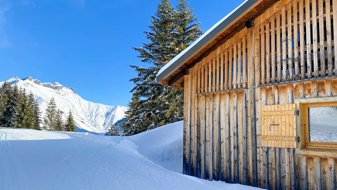
What is the weather like in Steinach am Brenner in Austria, and what is the forecast for the next few days? Check the current weather forecast for Steinach am Brenner on this page. Here, you will find the weather forecast for the next 48 hours as well as the next 14 days, so you’ll know exactly what to expect and what the weather will be like in Steinach am Brenner during your winter holiday.
The weather in Steinach am Brenner
On this page, you will find the current weather forecast for Steinach am Brenner, located in the ski resort of Wipptal: Steinach & Gries in Austria. Check the forecast and temperature for both the valley and the mountain. This will help you see what conditions will be like on the slopes and whether you need to add an extra layer for the day’s skiing. Will snow be in the forecast, or will the sun be shining? And what about the wind? How high is the frost line (0-degree limit), and what is the current snow depth in Steinach am Brenner? Read on for all this information!
Jump directly to:
48-hour weather forecast for Steinach am Brenner
07 May 2026
Night
Expectation 6 mm
0-degree limit 2145 metres

9°C

Morning
Expectation 1 mm
0-degree limit 2207 metres

8°C

Midday
Expectation 3 mm
0-degree limit 2104 metres

12°C

Evening
Expectation 2 mm
0-degree limit 2054 metres

9°C

08 May 2026
Night
Expectation 0 mm
0-degree limit 1948 metres

7°C

Morning
Expectation 0 mm
0-degree limit 2541 metres

11°C

Midday
Expectation 0 mm
0-degree limit 2203 metres

14°C

Evening
Expectation 0 mm
0-degree limit 2402 metres

10°C

07 May 2026
Night
Expectation 1 mm
0-degree limit 2225 metres

2°C

Morning
Expectation 1 mm
0-degree limit 2217 metres

4°C

Midday
Expectation 3 mm
0-degree limit 2584 metres

7°C

Evening
Expectation 3 mm
0-degree limit 2503 metres

4°C

08 May 2026
Night
Expectation 0 mm
0-degree limit 2457 metres

2°C

Morning
Expectation 0 mm
0-degree limit 2543 metres

7°C

Midday
Expectation 1 mm
0-degree limit 2934 metres

12°C

Evening
Expectation 1 mm
0-degree limit 2819 metres

7°C

14-day weather forecast for Steinach am Brenner
Date
Weather and snow
Expectation
Wind
Frost line
Date
Weather and snow
Expectation
Wind
Frost line


2016 metres
Date
Weather and snow
Expectation
Wind
Frost line


1929 metres
Date
Weather and snow
Expectation
Wind
Frost line


2357 metres
Date
Weather and snow
Expectation
Wind
Frost line


2721 metres
Date
Weather and snow
Expectation
Wind
Frost line


2792 metres
Date
Weather and snow
Expectation
Wind
Frost line


2485 metres
Date
Weather and snow
Expectation
Wind
Frost line


2195 metres
Date
Weather and snow
Expectation
Wind
Frost line


2084 metres
Date
Weather and snow
Expectation
Wind
Frost line


2147 metres
Date
Weather and snow
Expectation
Wind
Frost line


2194 metres
Date
Weather and snow
Expectation
Wind
Frost line


2167 metres
Date
Weather and snow
Expectation
Wind
Frost line


2190 metres
Date
Weather and snow
Expectation
Wind
Frost line


2334 metres
Date
Weather and snow
Expectation
Wind
Frost line


2180 metres
Date
Weather and snow
Expectation
Wind
Frost line


2443 metres
Date
Weather and snow
Expectation
Wind
Frost line


2774 metres
Date
Weather and snow
Expectation
Wind
Frost line


2971 metres
Date
Weather and snow
Expectation
Wind
Frost line


2847 metres
Date
Weather and snow
Expectation
Wind
Frost line


2613 metres
Date
Weather and snow
Expectation
Wind
Frost line


2365 metres
Date
Weather and snow
Expectation
Wind
Frost line


2218 metres
Date
Weather and snow
Expectation
Wind
Frost line


2448 metres
Date
Weather and snow
Expectation
Wind
Frost line


2492 metres
Date
Weather and snow
Expectation
Wind
Frost line


2439 metres
Date
Weather and snow
Expectation
Wind
Frost line


2489 metres
Date
Weather and snow
Expectation
Wind
Frost line


2468 metres
Snow depth in Steinach am Brenner
Snow is what makes a ski holiday special. Ideally, we wake up every day to Kaiser weather: a layer of fresh snow, bright sunshine, and a clear blue sky. However, icy temperatures and heavy snowfalls are also part of the experience. Or those foggy days when you ski from hut to hut, warming up with a cup of coffee, tea, or hot chocolate. When it comes to winter sports, the weather can be unpredictable, and nothing changes more rapidly than mountain weather. In addition to the forecast for the coming days, the current snow depth is a key part of the weather report in Steinach am Brenner. How much snow is there on the mountain and in the valley of the Wipptal: Steinach & Gries ski area? Check the table below to see the current snow depth in Steinach am Brenner.
Snow depth on the mountain and in the valley
Mountain: 0 cm
Valley: 0 cm
- Snow depth valley 0
- Cross-country ski trails open (km) 0
- Valley descent open Closed
- Hiking trails open (km) 0
Pistes Bergeralm und Nößlach
Set up SnowAlert for Steinach am Brenner
Explanation of the weather forecast in Steinach am Brenner
The weather report for Steinach am Brenner is updated daily and is carefully compiled by meteorologists working with Snowplaza. Curious about the forecast for the next two days? Check out the 48-hour weather forecast, which provides information for the morning, afternoon, evening, and night. The symbols indicate whether snow or rain is expected, whether it will be cloudy, or if the sun will be shining. Click on "village" to see the weather conditions in the valley, and on "mountain" for forecasts at higher altitudes. The zero-degree line indicates the frost line, which changes depending on the temperature. Don't confuse it with the snowline—snow can still fall several hundred meters below the zero-degree line. For a longer-term outlook, check the 14-day weather forecast for Steinach am Brenner. Keep in mind that weather conditions can change dramatically over two weeks, so be sure to check back daily if you're planning a winter sports trip soon.


