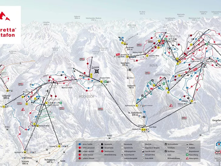
St. Gallenkirch-Gortipohl Piste map
View the current piste map of St. Gallenkirch-Gortipohl below. A piste map always gives a good impression of the ski area, the number and layout of the ski lifts and the ski slopes. The piste map of St. Gallenkirch-Gortipohl in St. Gallenkirch-Gortipohl & Oberstdorf shows access to the ski resort and any connections with other ski areas and ski resorts.
Slopes Map 1 - Montafon
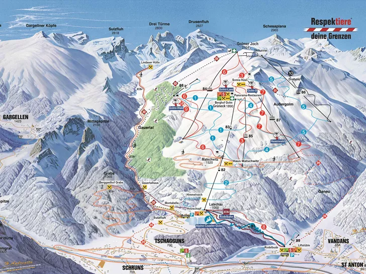
Slopes Map 1 - Erlebnisberg Golm
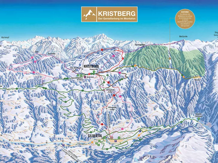
Slopes Map 1 - Kristberg
Slopes Map 1 - Gargellen

Slopes Map 1 - Silvretta-Bielerhöhe
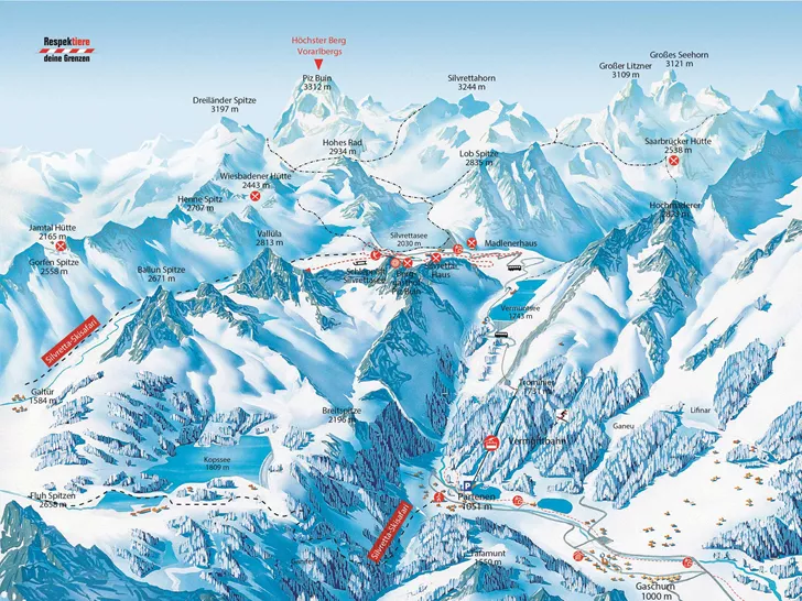
Slopes Map 1 - Silvretta Montafon

Also check the weather forecast for St. Gallenkirch-Gortipohl
Looked at the piste map and now wondering what the weather will be like today? Check the forecast for St. Gallenkirch-Gortipohl below to get a clear picture of what to expect on the slopes.
Weather in St. Gallenkirch-Gortipohl
Today
Mix of rain, sleet and snow

Frost line
1098 metresRain
13 mmTomorrow
Mix of rain, sleet and snow

Frost line
1229 metresRain
32 mm
