St. Anton im Montafon Piste map
View the current piste map of St. Anton im Montafon below. A piste map always gives a good impression of the ski area, the number and layout of the ski lifts and the ski slopes. The piste map of St. Anton im Montafon in St. Anton im Montafon & Oberstdorf shows access to the ski resort and any connections with other ski areas and ski resorts.
Slopes Map 1 - Montafon
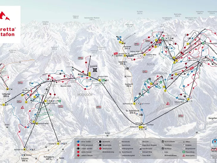
Slopes Map 1 - Erlebnisberg Golm
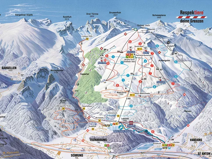
Slopes Map 1 - Kristberg

Slopes Map 1 - Gargellen

Slopes Map 1 - Silvretta-Bielerhöhe
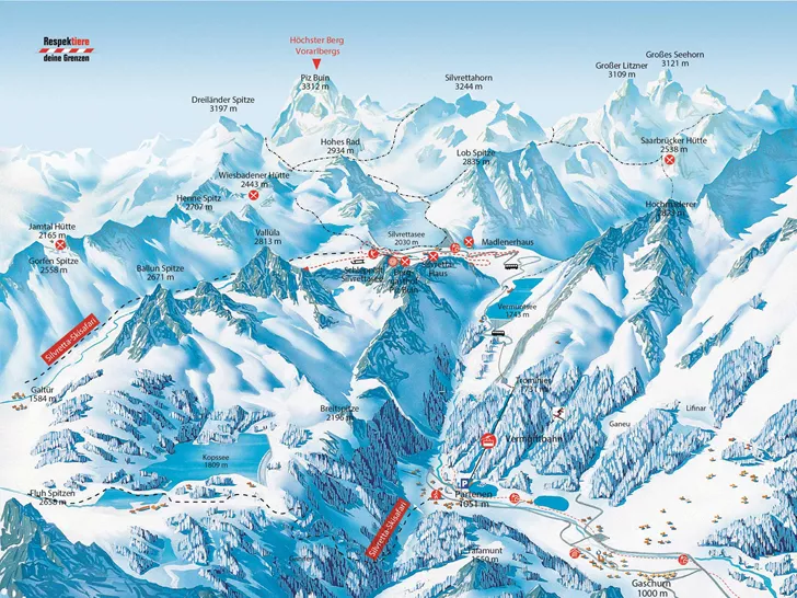
Slopes Map 1 - Silvretta Montafon

Also check the weather forecast for St. Anton im Montafon
Looked at the piste map and now wondering what the weather will be like today? Check the forecast for St. Anton im Montafon below to get a clear picture of what to expect on the slopes.
Weather in St. Anton im Montafon
Today
Overcast with steady rainfall

Frost line
1252 metresRain
34 mmTomorrow
Showers with occasional sunshine

Frost line
1578 metresRain
2 mm