-
Height: 1350 - 2400 metres
-
Well-reputed off-piste skiing
-
Less well-adapted for beginner skiers
-
Ski lift system recently updated
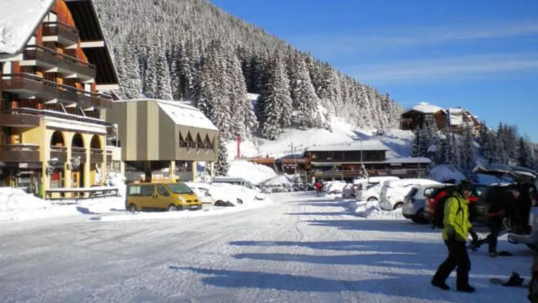
The 7 Laux ski area got its name from the 7 lakes situated to the west of the ski slopes. In recent years there has been a lot of investment in replacing old ski lifts in the ski area. Les 7 Laux has over 120km of ski slopes particularly well-adapted to the more experience skier. There are many black runs and well-known off-piste circuits in Les 7 Laux so if you are not such a strong skier, consult your ski map carefully and stay around the Le Pleynet, Pipay and Prapoutel areas.
The wild mountains of Les 7 Laux with its wide alpine pastures and thick forests, is located in the Belledonne mountain range which extends into the ski resort of Val d’Isère to the northeast of Grenoble. Les 7 Laux ski area is spread out over 2 mountain sides making it possible to ski in the sun all day. The ski slopes are characterised by their variety as well as the surrounding dense forests which allow skiers to discover hidden spots well off the beaten track, where nature still reigns. The ski slopes of Les 7 Laux reach an altitude of 2400 meters, has a funpark and a boardercross.

Les 7 Laux - 120 km
Closed- Green 30 km
- Blue 20 km
- Red 40 km
- Black 30 km
Mountain: 0 cm
Valley: 0 cm
- Drag Lifts 10
- Chair Lifts 10
- Gondolas 1
- Trains 0
- Glacier No
- Speed 32800 p/hour


