
Piste map of Mallnitz & Flattach
View the piste map of the Mallnitz & Flattach ski area on this page. This way, you'll know exactly what to expect during your ski holiday. The piste map(s) of the Mallnitz & Flattach ski area provide a clear overview of the slopes, the locations of the mountain huts, and the access points for the ski lifts.
Piste map Mallnitz & Flattach
Are you currently in the Mallnitz & Flattach ski area and want to check the piste map? Or are you still at home, already planning your ski holiday? On this page, you can view the piste map of the Mallnitz & Flattach. Plan your routes, see which slopes to take to reach a specific mountain hut, and how to return to the village, the ski bus, or where your car is parked at the end of the day. Take a quick look at the trail map of the Mallnitz & Flattach ski area and save it so you can refer to it later. The map shows you access to the ski resort and any connections with other ski areas and ski resorts.
Slopes Map 1 - Mallnitz & Flattach
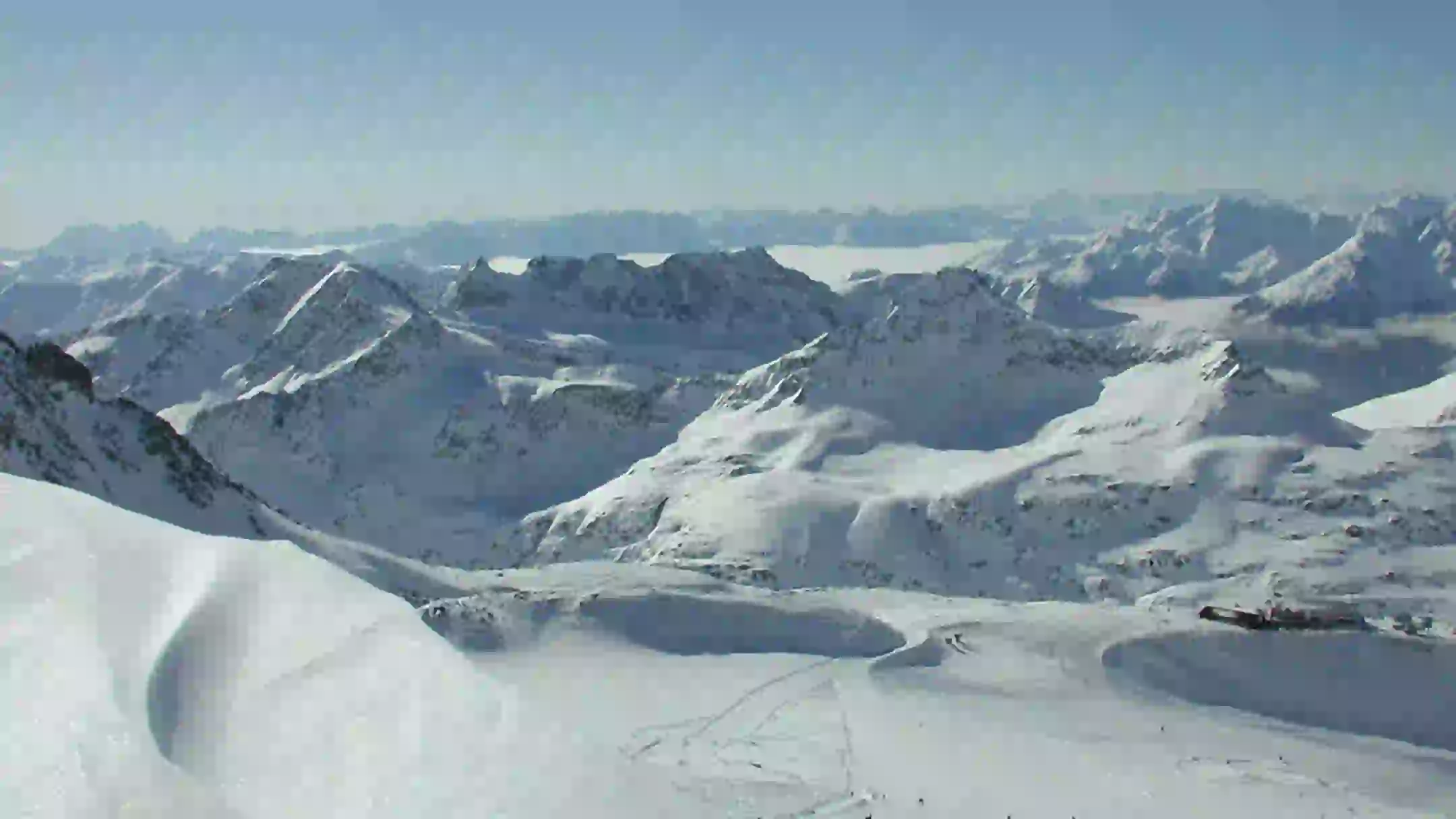
Slopes Map 1 - Mölltaler Gletscher
Piste Panorama Moeltaler Gletscher 2024

Piste Panorama Moelltaler Gletscher

Slopes Map 1 - Ankogel

Weather forecast Mallnitz & Flattach
Have you checked the piste map of the Mallnitz & Flattach ski area and want to know what the weather’s like today? Take a look at the forecast below to get a clear idea of what to expect on the slopes. Will it be snowing, or will the temperature drop well below freezing? Then an extra stop at a mountain hut might be a good idea. The same goes if the sun is out. Check the weather forecast for the Mallnitz & Flattach ski area below.

