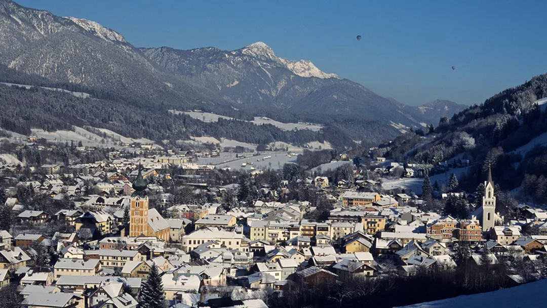
Schladming Piste map
View the current piste map of Schladming below. A piste map always gives a good impression of the ski area, the number and layout of the ski lifts and the ski slopes. The piste map of Schladming in Schladming & Oberstdorf shows access to the ski resort and any connections with other ski areas and ski resorts.
Slopes Map 1 - Schladming-Dachstein

Winter map Dachstein Gletscher

Slopes Map 1 - Fageralm

Slopes Map 1 - Galsterberg

Slopes Map 1 - Skiregion Ramsau am Dachstein

Slopes Map 1 - Stoderzinken

Slopes Map 1 - Schladminger 4-Berge-Skischaukel

Slopes Map 1 - Planneralm

Slopes Map 2 - Planneralm

Riesneralm Panorama

Also check the weather forecast for Schladming
Looked at the piste map and now wondering what the weather will be like today? Check the forecast for Schladming below to get a clear picture of what to expect on the slopes.
Weather in Schladming
Today
Bright sunny weather

12 / 27
Frost line
4298 metresRain
0 mmTomorrow
Regular sunshine with some clouds

11 / 21
Frost line
3688 metresRain
1 mm


